Z-Axis Scholarship:
Modeling How Modernists Wrote the City
Alex Christie, Stephen Ross, Jentery Sayers, Katie Tanigawa and the INKE-MVP Research Team
Digital Humanities 2014
Following along at axchristie.github.io/DH2014
@axchristie @katietani @ghostprof @jenterysayers
Isomorphic maps
The map is not the territory
Base maps
flatten historicaly-distinct understandings of space
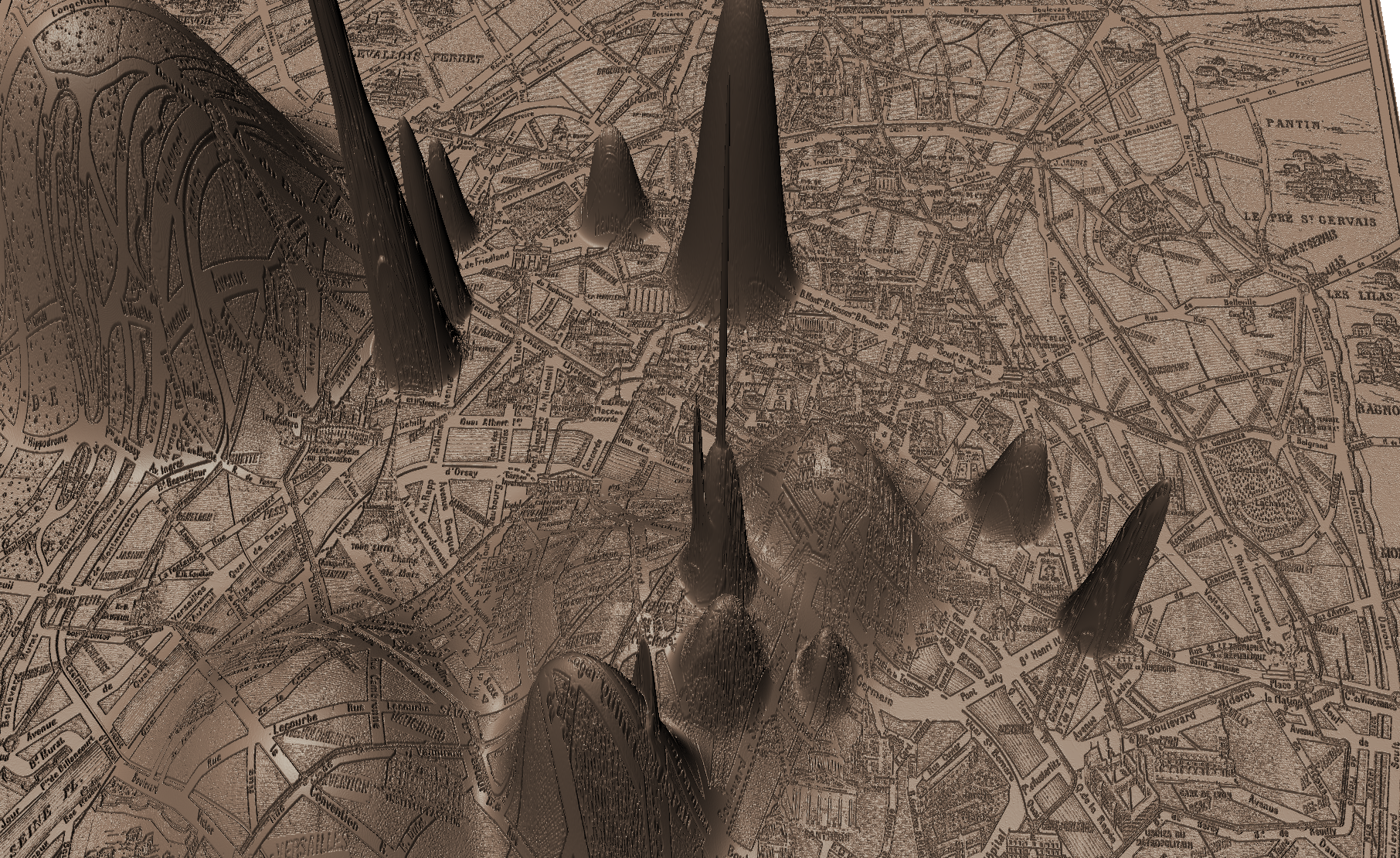
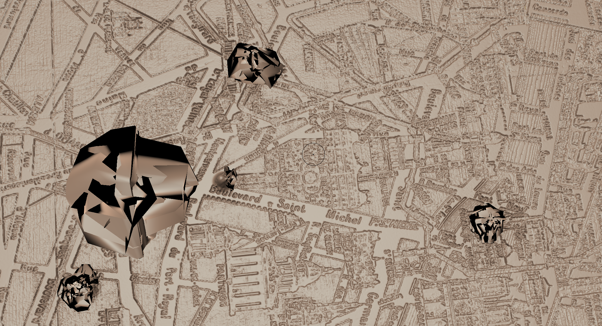
Z-Axis maps
unpack the social and cultural depth of archival maps that are otherwise read as only surface or image
Z-Axis maps
workflow
Text markup of novel | Image markup of map
workflow
subdivided plane
workflow
displacement map
workflow
3D map mesh
workflow
warped map
We understand the modernist city as mutable and n-dimensional in nature, as a multiplicity of interfolding and overlapping cities rather than a singular or essential geographic space.
We understand the modernist city as mutable and n-dimensional in nature, as a multiplicity of interfolding and overlapping cities rather than a singular or essential geographic space.
This in turn invites investigation into the city at scale
Debora Parsons:
“the streets of the city and the pilgrimage through them become internalized, as city and psyche become one” (145)
Rhys's Paris
Rhys's Paris
Rhys's Paris
Barnes's Paris
Carriage Ride
Barnes's version
Carriage Ride
Doctor's version
Barnes's Paris | Rhys's Paris